blah blah blah
Waternomee Falls
Length: 2.4 miles out-and-backDifficulty (click for info): Beginner
Elevation Gain: 580 feet (+20 feet on return)
Rating (click for info): 4/10
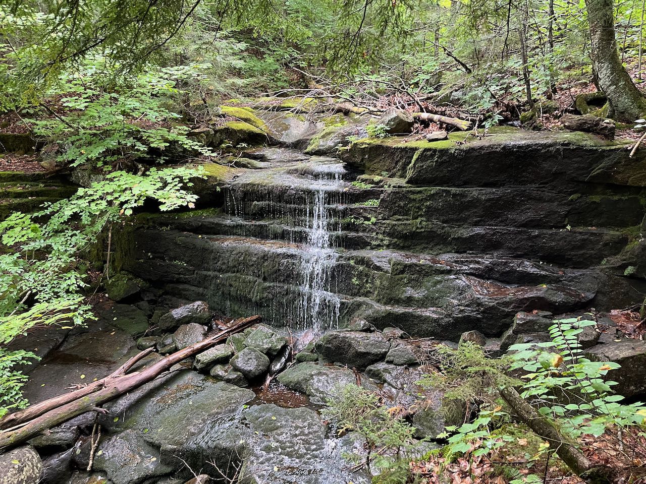
Height: 10'
River: Clifford Brook
Driving Directions:
Trailhead and parking area are on Clifford Brook Road in Warren, NH. From Rt. 25/118, 3.0 miles north of the junction with Rt. 25A and 0.8 miles south of the junction with Rt. 25C, turn east onto Fish Hatchery Road and take the first right, passing by the visitor center at the Warren Fish Hatchery. Drive 0.1 miles over broken pavement and gravel and take the left uphill onto Clifford Brook Road. Drive 0.7 miles up this narrow but well-packed dirt road to a pull-off on the right with a hiking sign for the Carr Mountain Trail. Click here for a Google map.
About the Hike:
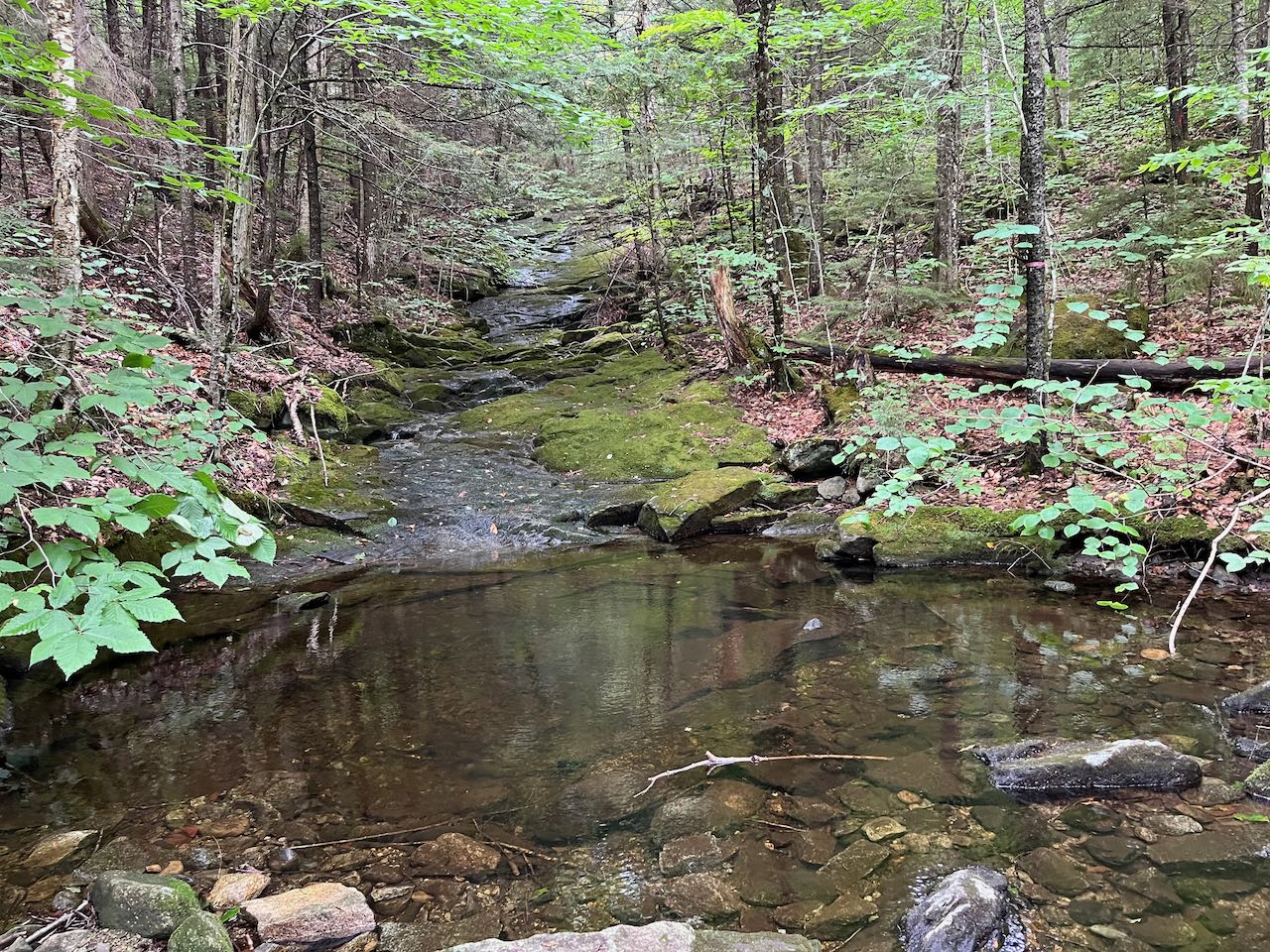
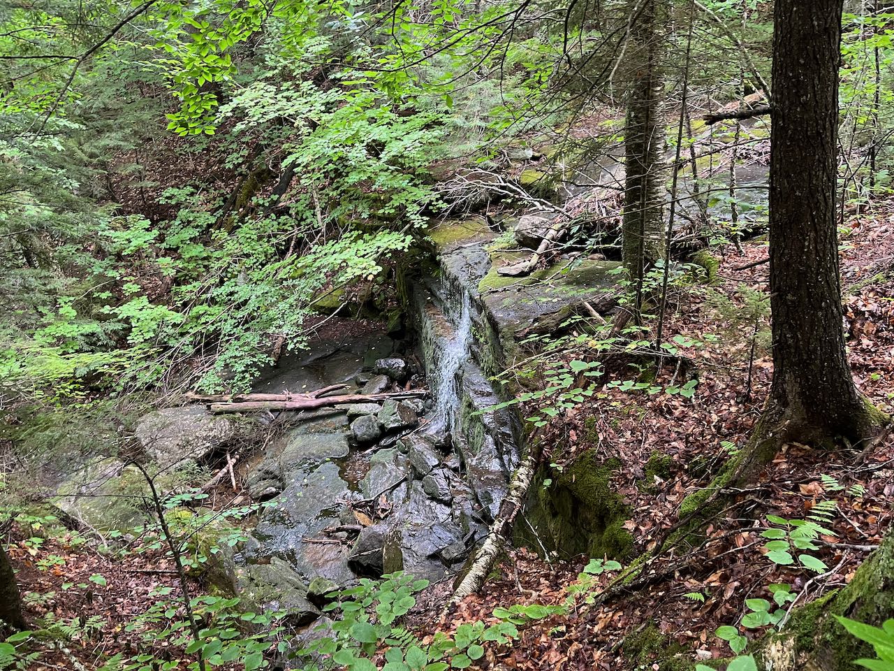
Waternomee Falls is assuredly just one of a plethora of small, seasonal waterfalls on the watercourses of the White Mountains, most of which are hidden deep in the woods and unmentioned, but this particular waterfall happened to have a trail built to it and a name assigned. It is nestled in a quiet brook valley on the west slope of the vast Carr Mountain ridge and hardly visited. If you're looking for something away from the proverbial beaten path that is pleasing to visit but has no recognition in waterfall lists and tourist guides, this is a good candidate. Just be sure to visit when the water levels are high, such as during spring snowmelt, to see it on full display.
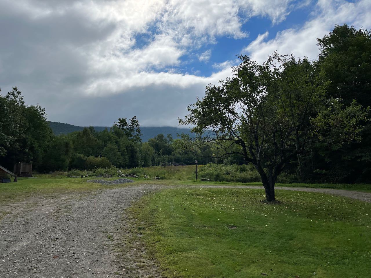
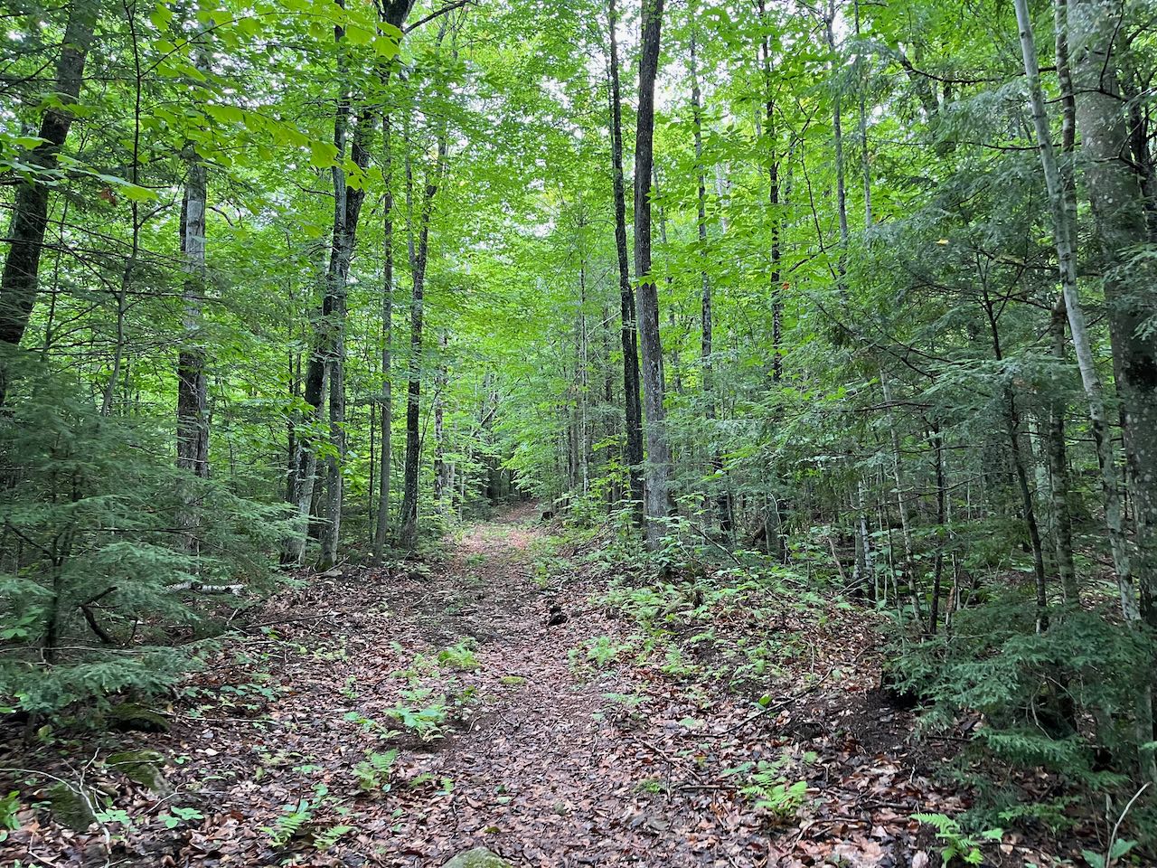
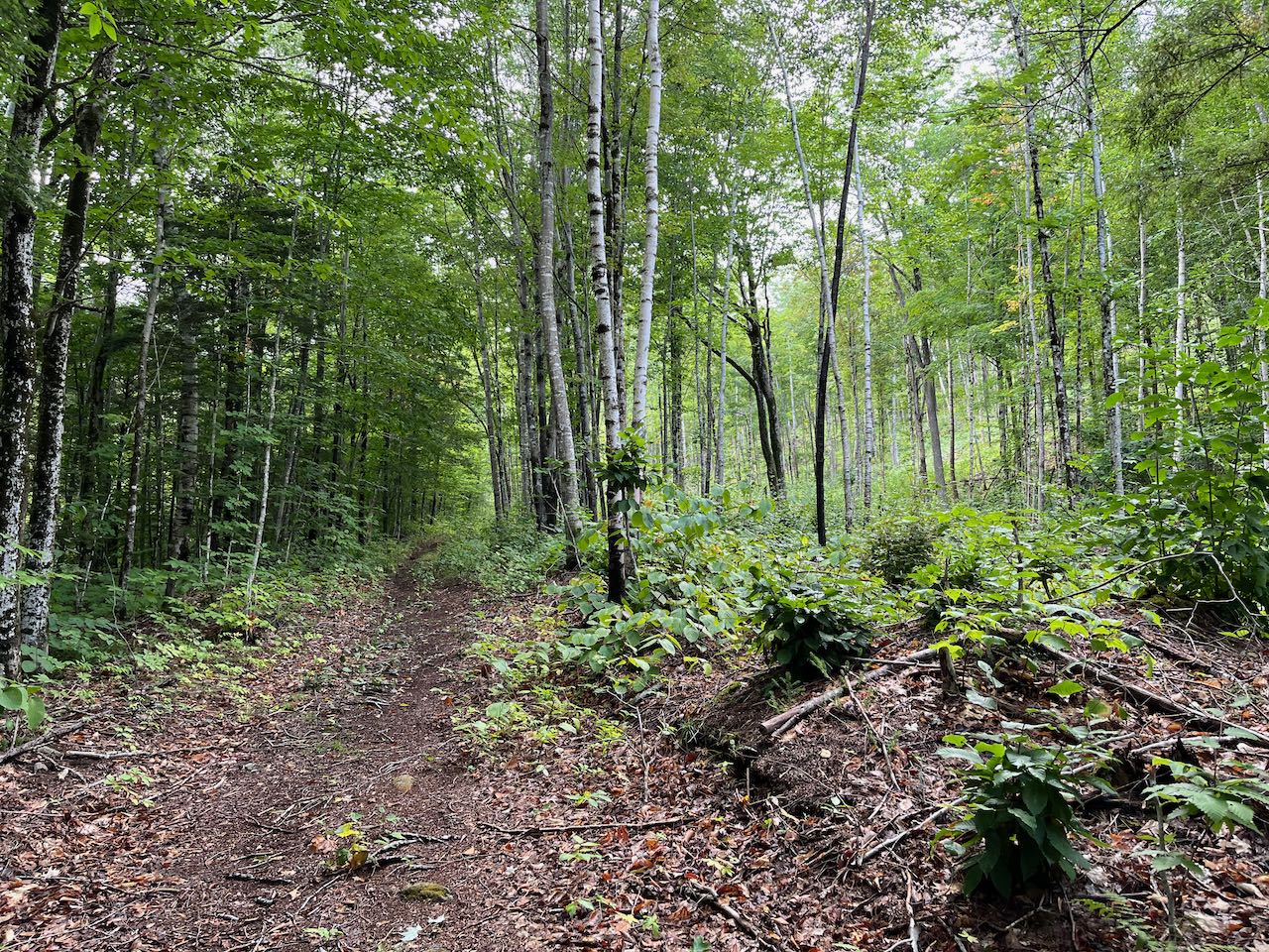
The Carr Mountain Trail, which makes use of an old road the entire way, begins partway up the dirt Clifford Brook Road. From the parking area, walk a quarter mile to the end of the road to an open field, where there is a turnaround at a camp house. Follow the logging road's track into the field, rising 0.1 miles to the top of the clearing. Bear left at a wooden post onto the old road, avoiding an opening to the logging area. The road ascends gently, soon crossing one of the newer logging roads. It leads away from the clearing for a bit, then returns to the edge of it, where it approaches a deep ravine tumbling down to Clifford Brook on the left side. After 0.65 miles, a trail junction is reached, where the Carr Mountain Trail diverts right to climb to the summit of Carr Mountain. Stay straight onto the spur trail to the waterfall. It cuts across the grassy clearing and leads into the woods. In 0.1 miles, it crosses an often-dry branch of the brook on small stones, where the water cascades over a slippery ledge. The trail continues up and over a ridge between the brooks, descending to the main branch at Waternomee Falls after another 0.1 miles. You will have to step off the trail to the left to see the falls from the side and bottom, where the brook rushes in parallel plunges over the short vertical ledge.
Printable directions page